Geospatial Analysis
Analyze the Data. Map the Solutions.
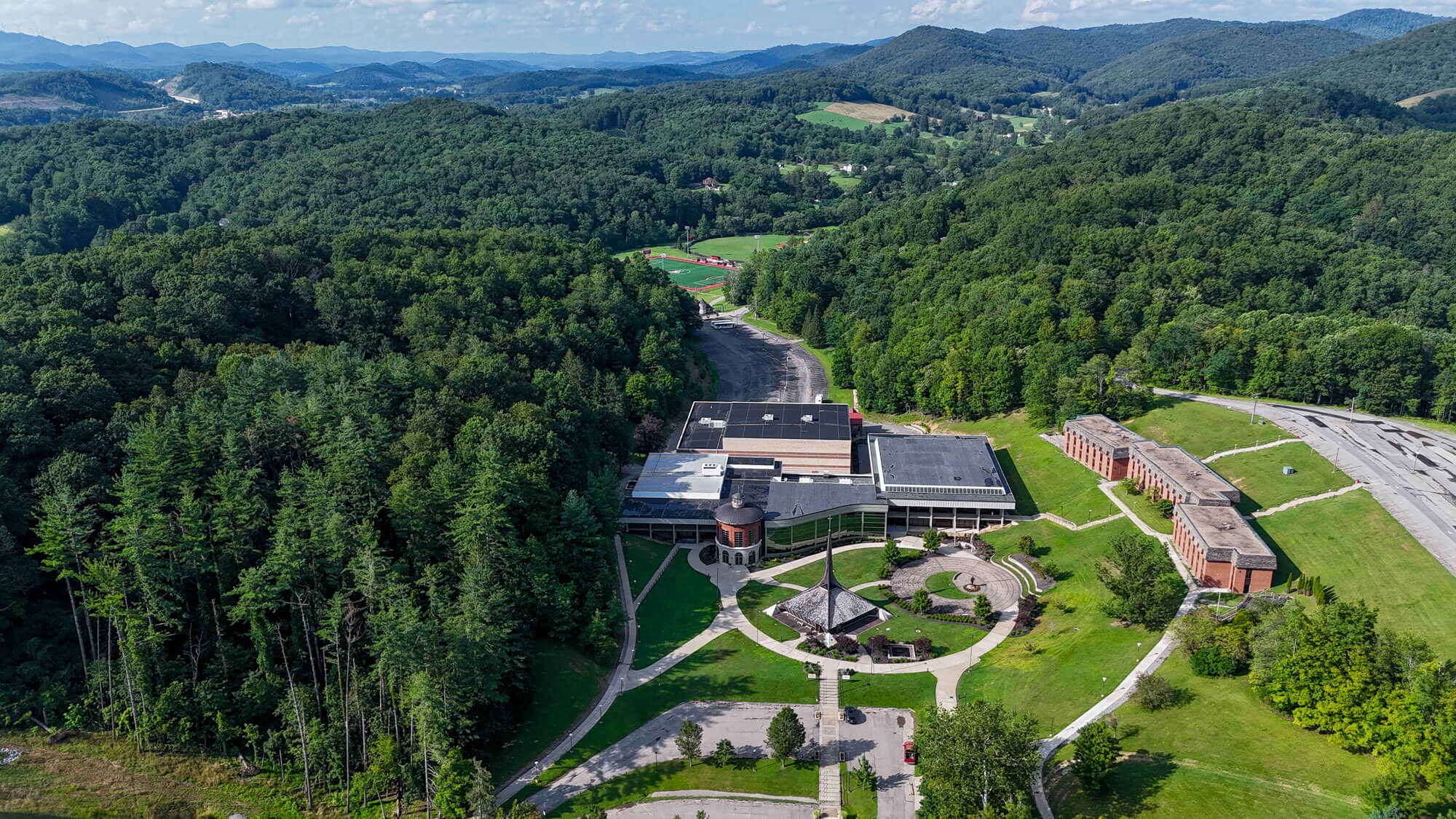
Learn the tools and technology to understand how to answer geographic challenges.
Are you curious how self-driving cars work? Interested in flying a drone to detect forest fires or illegal harvesting? A minor in geospatial analysis can help you understand these and many other spatial questions.
Minors

Geospatial Analysis Minor
The geospatial analysis minor at D&E is designed to complement virtually any major, whether your primary field is environmental science, criminology, business, education, public health, or sustainability. The program is taught by faculty in the Biology, Environmental Science, and Sustainability Department within Eshleman Science Center, which houses a dedicated computer laboratory equipped with Geographic Information Systems (GIS) and remote sensing software.
You’ll learn to work with ArcGIS software, Python scripting for GIS automation, satellite-based remote sensing, and advanced spatial data modeling. The Monongahela National Forest and surrounding natural areas — including Dolly Sods Wilderness, Canaan Valley National Wildlife Refuge, and Spruce Knob — serve as living laboratories where field data collection meets cutting-edge geospatial technology.
The program’s interdisciplinary reach is one of its greatest strengths. GIS is applied across fields in distinctive ways:
- Environmental Science — Combining disparate data models to design better solutions for managing, protecting, and preserving our environment
- Sustainability — Bridging sectors to integrate, manage, analyze, and visualize data on population growth, climate change, energy consumption, and natural resources
- Criminology — Conducting spatial analysis of crime locations, offender patterns, policing practices, and community corrections
- Business — Analyzing spatial data to improve marketing, logistics, and general management decision-making
- Education — Giving you the same high-demand tools used in professional careers to examine geographic questions across subject areas
- Public Health — Supporting targeted prevention and intervention by tracking immunizations, conducting health policy research, and mapping service areas
Certificates
Geospatial Analysis Certificate
The requirements for a certificate as a geospatial analyst consist of 24 credit hours of specified environmental science courses.
Courses

What We Offer
The requirements for a minor in geospatial analysis consist of 20 credit hours of specified environmental science courses:
- Introduction to Environmental Science
- Introduction to Geographic Information Science and Systems
- Remote Sensing and Intermediate Geographic Information Systems
- Advanced Geographic Information Systems
- Python for GIS
- Biogeography
The requirements for a certificate as a geospatial analyst consist of 24 credit hours of specified environmental science courses:
- Introduction to Environmental Science
- Introduction to Geographic Information Science and Systems
- Python for GIS
- Remote Sensing and Intermediate Geographic Information Systems
- Advanced Geographic Information Systems
- Biogeography
- GIS Capstone
Careers in Geospatial Analysis
A minor or certificate in Geospatial Analysis prepares you to apply spatial thinking and GIS technology across a wide range of professional settings, from federal land management to urban planning, from corporate logistics to national security. Geospatial analysis skills apply to a growing list of professions and are increasingly sought after by employers across government, business, healthcare, law enforcement, and environmental management.
Additional career paths for graduates with GIS skills include:
- GIS analyst
- Cartographer
- Remote Sensing Specialist
- Urban and Regional Planner
- Environmental Consultant
- Crime Analyst
- Public Health Analyst
- Intelligence Analyst
Internship and undergraduate research opportunities connect you with agencies like the U.S. National Park Service, U.S. Forest Service, Bureau of Land Management, and West Virginia Division of Natural Resources, giving you real experience and professional networks before graduation.
Alumni Success Stories
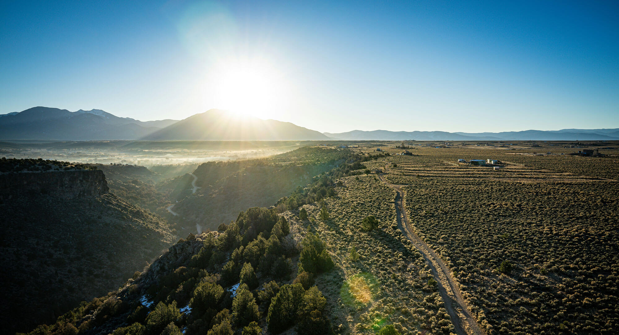
Alyssa Richmond graduated from D&E in 2017 with a degree in Environmental Science and a minor in Geospatial Analysis. She now works for the U.S. National Park Service at Chaco Culture National Historical Park in New Mexico, where she uses GIS to map and preserve the park’s historical and natural resources.
Photo by Taisia Karaseva on Unsplash









Why Geospatial Analysis at D&E
Small class sizes at D&E enable inspiring faculty to get to know your personal career interests and tailor your education. D&E’s location in the Allegheny Highlands places you within reach of one of the most ecologically diverse natural laboratories in the eastern United States. The Monongahela National Forest, Canaan Valley National Wildlife Refuge, and surrounding wilderness areas are your classroom.
You’ll gain hands-on experience with industry-standard ArcGIS software and Python scripting — the same tools used by professionals at federal agencies, research institutions, and private-sector employers. The Certificate in Geospatial Analyst pathway, including preparation for the ESRI Technical Certification exam, positions you for immediate entrance into the geospatial technologies workforce.